A dozen years ago, David Greene undertook what he thought would be a simple project to give his geoscience students an in-the-field tutorial on geologic mapping, but the Confusion Range lived up to its moniker. What began as a straightforward mapping proposal morphed into a long-term enterprise involving a total of seven students in directed studies and summer scholar research, ultimately culminating in formal publications with the Utah Geological Survey and in “Geosphere,” the most-cited journal of the Geological Society of America.
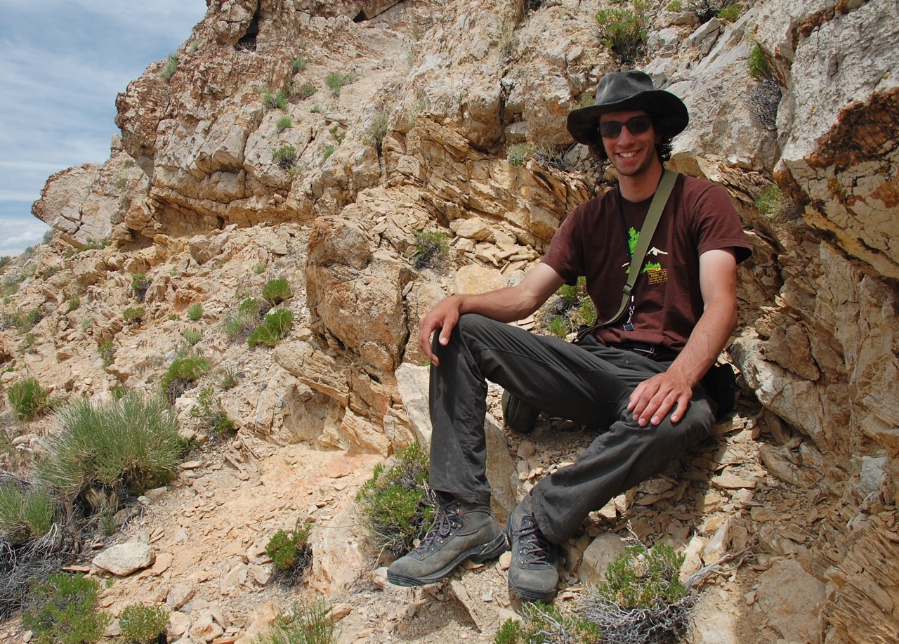
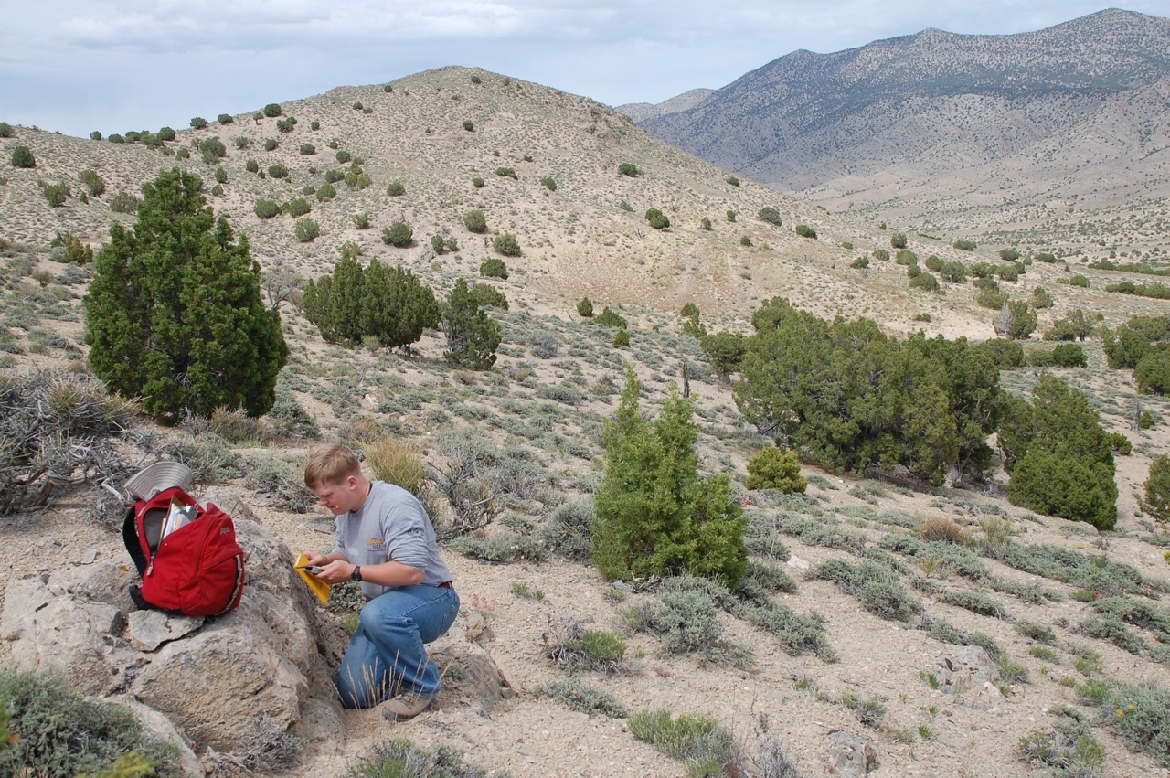
Greene, an associate professor of geosciences, was looking for a good mapping project for his students when his wife, also a geologist, suggested he take a look at the Confusion Range in west-central Utah. The range was originally mapped by the U.S. Geological Survey in the 1960s, but the mapped structures were very complex and the accompanying cross sections were both inconsistent north to south and implausible by modern geological standards. Greene considered it likely that if the cross sections were incorrect the maps were incorrect as well, and he took four students out to Utah with the aim to re-map a part of the Confusion Range. Alas, this well-meaning plan was not to come to fruition.
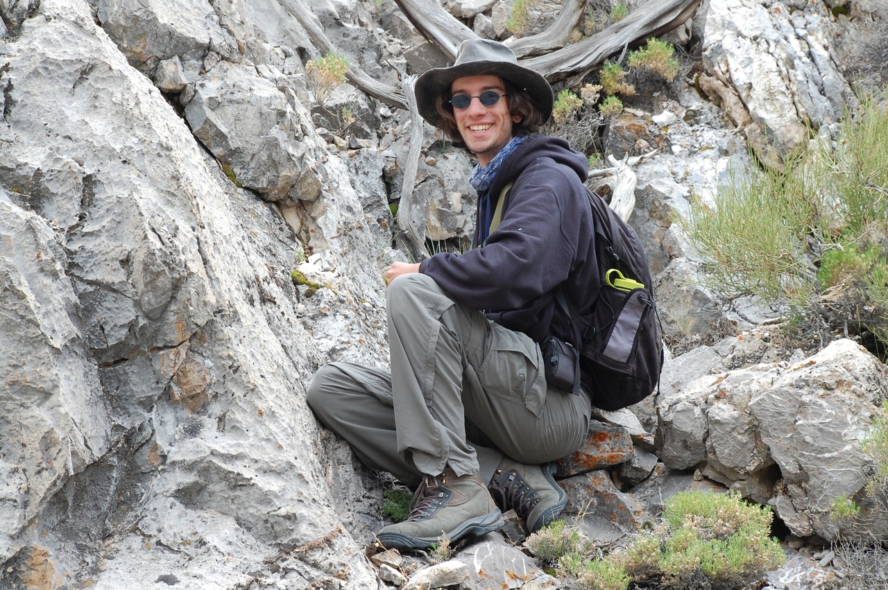
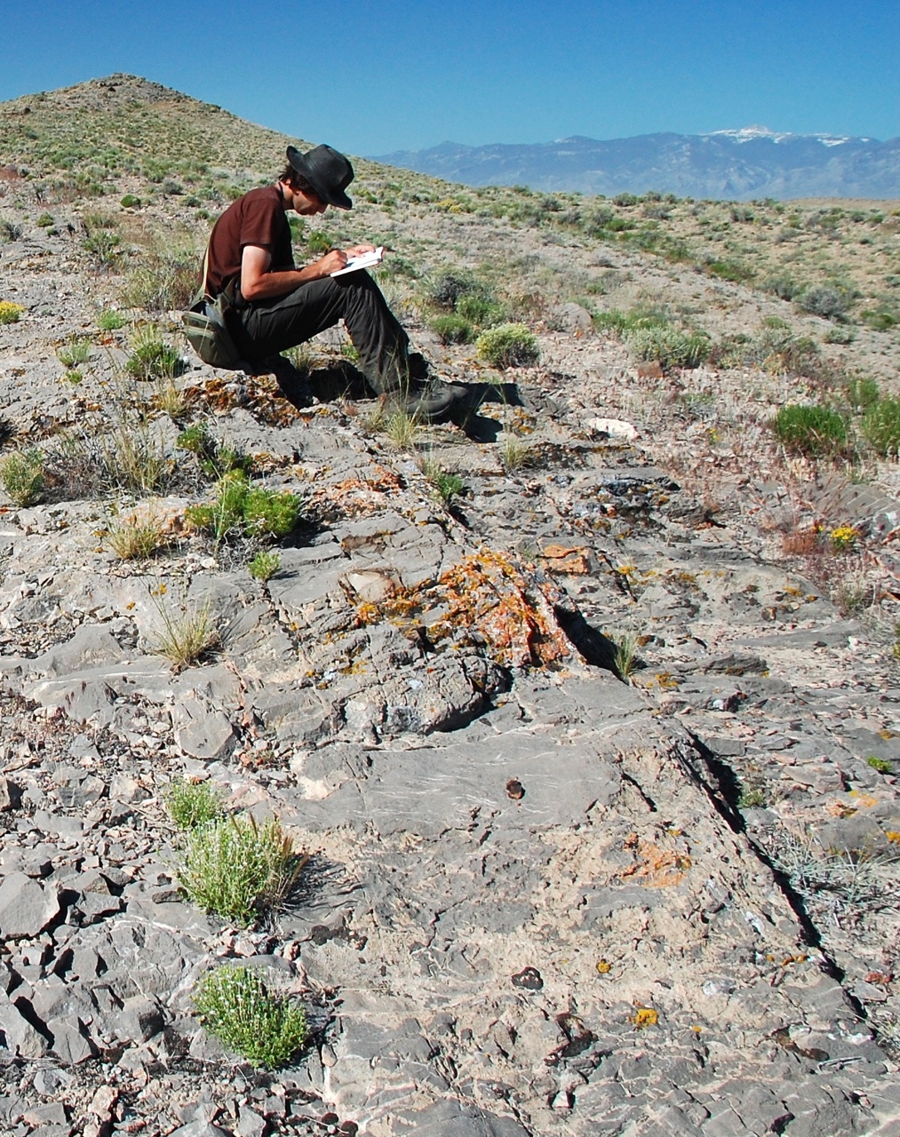
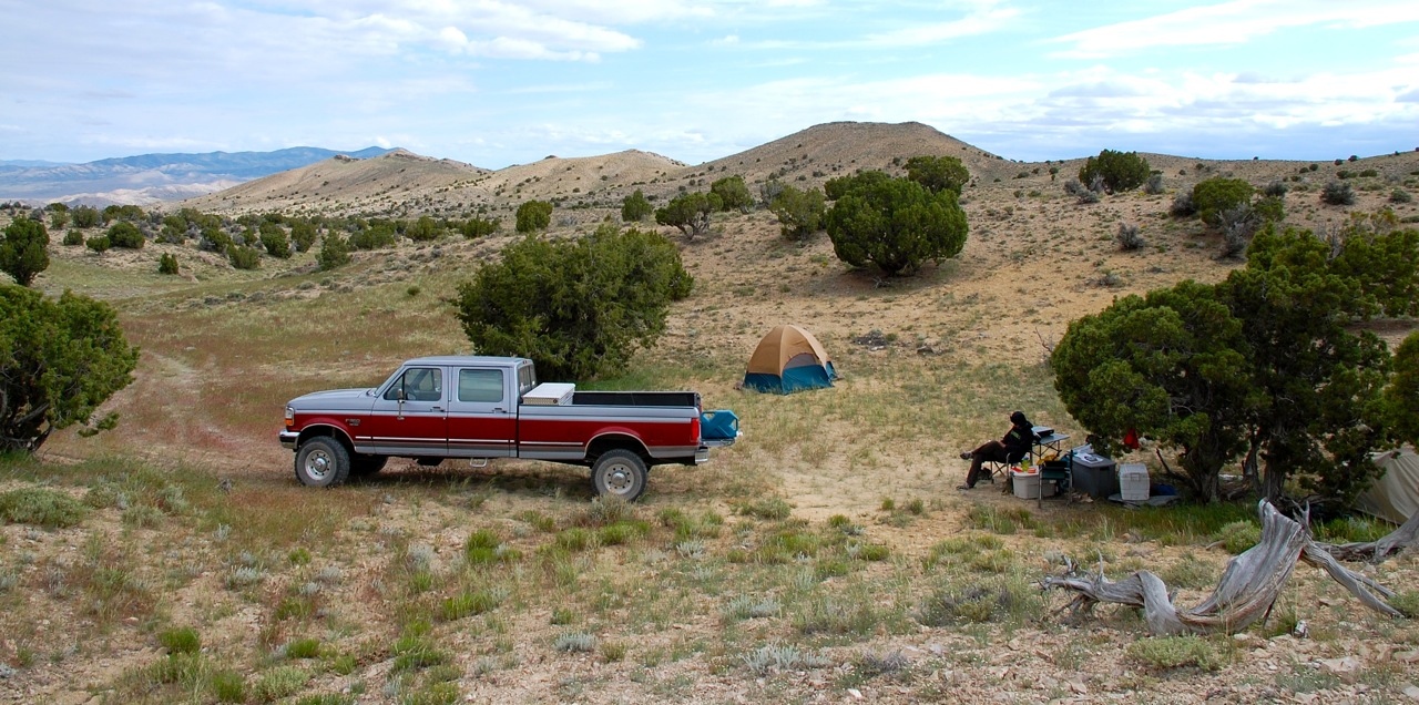
The students spent most of a summer in the desert in extensive mapping of the region, and found that in fact the 1960s maps had been drawn correctly. Which left Greene with a conundrum: if the maps were correctly rendered, then the geologic puzzle here was baffling in the extreme. It was a tantalizing problem, and he wanted to get the to bottom of it (to the bedrock so to speak).
So Greene enlarged his own research to encompass a more thorough understanding of a relatively new technique called cross-sectional balancing, and then worked with two students, Don Yezerski ’10 from Houston and Matt Matteri ’11 from Portland, Ore., in directed studies, giving them the extra in-depth learning and the tools, including geometry and computer mapping, needed to solve the enigma. Yezerski and Matteri followed their directed studies with research as summer scholars, and during those summers of research they worked with Greene to build the initial cases for the most plausible geologic causes of deformation in the Confusion Range.
The students presented their work, co-authored with Greene, at national meetings of the American Geophysical Union and the Geological Society of America (GSA). The GSA is a premier international scientific organization with 24,000+ members from all sectors – academic, government, industry – and around the world.
“When I began this process many years ago, I would never have guessed the complexity of the issues we dealt with here,” says Greene. “I’ve appreciated the opportunity to learn more myself, but even more, to work with students and give them these rare opportunities to do real-world research as undergraduates.”
Greene will speak on his Confusion Range research at the University of Kentucky on February 27.