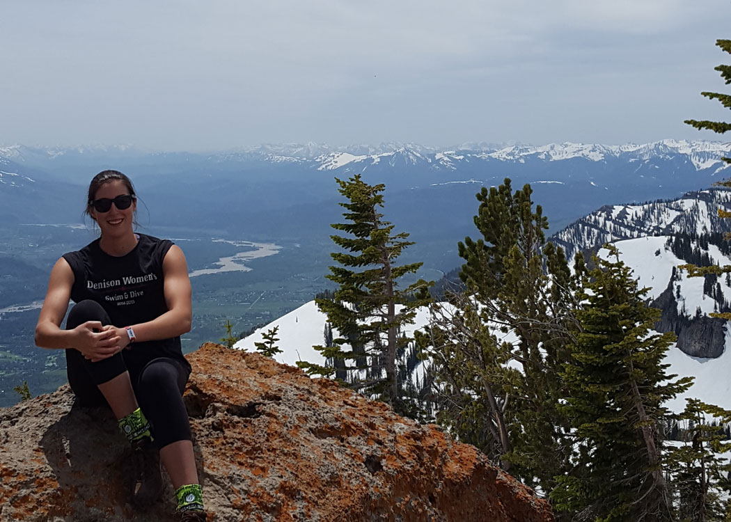
Denison alumnus Rima Jurjus '15 discovered her initial interest in environmental science in high school. She then followed a path into Denison’s Environmental Studies Department to build upon her interest, and discover new ways to incorporate this interest into her schooling.
Jurjus was able to incorporate a process of learning and acquiring experience with GIS (Geographic Information Systems) throughout her time at Denison. She acquired a basis of knowledge on the system through the offered GIS courses. She expanded her experience hands on by using GIS for a summer research project as well as through her participation in a GIS based internship.
With a strong background in GIS, Jurjus explained that it “was only natural to continue expanding [her] scope into senior year.” Her senior research project led her to create a lasting resource for Denison students to learn from and build upon for years to come.
“My project involved utilizing GIS to create an interactive map of Denison University’s Biological Reserve. The map featured hyperlinks to student and faculty research documents, audio clips, pictures of particular areas, and more.” Her project allowed her to discover the possibilities of using different forms of GIS to “bring local knowledge and technology together to form a physical product that can be accessed by all.” Her research was drawn from many areas and integrated aspects of Geoscience, Environmental Studies, and Biology Departments.
“Once complete, the map was put online for students, faculty, and guests to Denison’s website to interact with. My hope is that future students will continue to update the map with new research or other interesting elements as they become available.”
When asked about her transition into the workplace, she noted a few elements of her education that were valuable to her. “I have found my liberal arts degree to be indispensable throughout the duration of the job search” stated Jurjus. She has found that her balance of knowledge and ability to engage with a number of topics is advantageous in her field. Jurjus noticed that building her skills of time management through her participation on the Denison Swim and Dive team helped her to find success in the professional world. She also noted the large span of potential job opportunities she found when she widened her search to include GIS based positions.
Jurjus now extends her knowledge and experience from completing her research and projects at Denison into the workplace. She currently works as an AutoCAD/GIS Technician for a civil engineering firm in Columbus.
“Now I enjoy working alongside our engineers to create design plans for buildings, manage GIS information for cities around Ohio, and gathering information from environmental agencies such as the EPA and FEMA.”

 and his team at Purple Orange played a key public relations role in what might be the marketing coup of 2023 — the Solo Stove endorsement made by rapper Snoop Dogg. (Lindley Rust)")